

Select NOAA-NWS Forecast Office Text Products
(Product availability varies with seasons, forecast office, and weather.)
Hazardous Weather Outlook for Jackson, KY
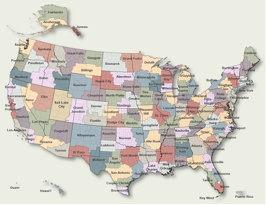
To Select Another NWS Office Click on Map or Choose from List
|
| Select Forecast Office: | Select Product: |
000 FLUS43 KJKL 291938 HWOJKL Hazardous Weather Outlook National Weather Service Jackson KY 338 PM EDT Mon Apr 29 2024 KYZ044-050>052-058>060-068-069-079-080-083>088-104-106>120-301945- Fleming-Montgomery-Bath-Rowan-Estill-Powell-Menifee-Rockcastle- Jackson-Pulaski-Laurel-Wayne-McCreary-Whitley-Knox-Bell-Harlan- Elliott-Morgan-Johnson-Wolfe-Magoffin-Floyd-Lee-Breathitt-Knott- Owsley-Perry-Clay-Leslie-Letcher-Martin-Pike- 338 PM EDT Mon Apr 29 2024 This Hazardous Weather Outlook is for a portion of eastern Kentucky. .DAY ONE...Tonight. There is a chance of thunderstorms tonight. .DAYS TWO THROUGH SEVEN...Tuesday through Sunday. Thunderstorms are possible Tuesday and again at times from Friday through Sunday. .SPOTTER INFORMATION STATEMENT... Spotter activation is not expected at this time. $$ JKL |
Previous Hazardous Weather Outlooks may be found at
NWS Jackson, KY (JKL) Office Hazardous Weather Outlooks.
(Click 'Previous Version' there to view past versions successively.
Some may differ only in time posted.)
Products Courtesy of NOAA-NWS
NWS Information Parsing Script by Ken True at Saratoga Weather - WFO and Products Scripts by SE Lincoln Weather.
Mapping by Curly at Michiana Weather and by Tom at My Mishawaka Weather.